Land Surveying Services
Trust Indiecad’s land surveying experts to document your property’s features and boundaries. Leveraging cutting-edge technology and stringent industry standards, our comprehensive surveys deliver with confidence and reliability. Precise measurements, in-depth analysis, and meticulous attention to detail ensure accurate demarcation of easements, encroachments, and property boundaries. For residential, commercial or industrial assets, Indiecad’s surveys provide a rock-solid foundation for establishing and safeguarding your property assets.
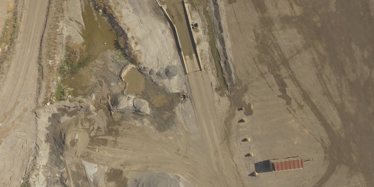
Topographic Surveys
Navigate Terrain with Precision
For infrastructure projects and environmental assessments, our Topographic Surveys offer enhanced terrain analysis and precise elevation data, enabling you to make informed decisions confidently.
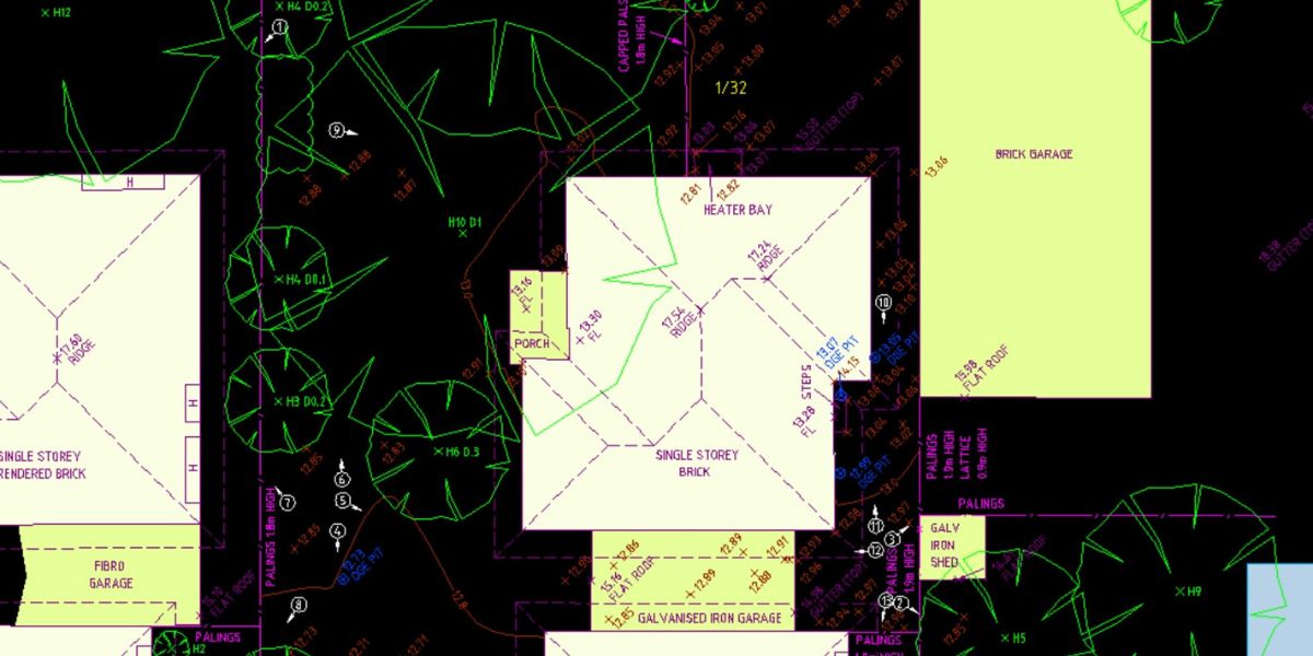
Cadastral Surveys
Clarity in Property Ownership
Whether you’re a landowner or a surveyor, our Cadastral Surveys ensure property rights clarity and legal documentation, providing you with the peace of mind that your property ownership is secure.
Digital Terrain Models (DEM, DTM, DSM)
Enhance Predictive Planning and Risk Assessment
When it comes to urban planning and flood risk assessment, our Digital Terrain Models provide advanced site analysis and accurate simulations, ensuring enhanced predictive planning and risk assessment.
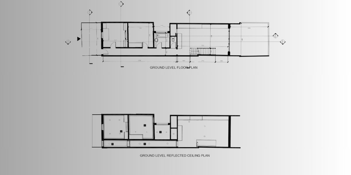
Construction Setout
Precision in Construction
For construction companies, our Construction Setout services ensure precise implementation and error reduction, leading to precision in construction and a reduction in costly errors.
At Indiecad,, we understand the importance of accurate land surveying in your projects. Our services cater to your specific needs, delivering accurate data, legal compliance, and efficient planning. Contact us today to explore how our Land Surveying services can benefit you and your projects. Unlock the full potential of your land assets with confidence.
Why Choose Indiecad’s Land Surveying Services?
-
Unlock Precision and Compliance: Indiecad is your go-to for navigating the complexities of land surveying. Our services are designed to ensure your projects are not just completed, but achieved with unmatched precision and adherence to legal standards.
-
Streamlined Documentation: Say goodbye to project delays with our Title/Feature and Level/Detail Surveying. Perfect for construction companies and property developers seeking hassle-free legal compliance and accurate planning.
-
Terrain Mastery: Civil engineers rejoice! Our Topographic Surveys and Digital Terrain Models offer the detailed terrain analysis and elevation data you need for informed decision-making and risk assessment in infrastructure and environmental projects.
-
Ownership Clarity: Resolve boundary disputes and secure property transactions with our Cadastral Surveys. We provide the legal documentation and clarity needed for undisputed property ownership.
-
Error-Free Construction: Our Construction Setout services are a game-changer for construction companies aiming for precision and efficiency, significantly reducing costly errors and ensuring project success.
Why Indiecad?
- Accuracy Guaranteed: With Indiecad, detailed documentation and precise data lead to efficient project management and successful outcomes.
- Strategic Insight: We empower your planning and construction with the insights needed for strategic execution and resource optimization.
- Expert Solutions: Tailored to your specific needs, our services transform your vision into reality with accuracy, efficiency, and expertise.
Let’s make your project a success story.


